Curiosity Blog, Sol 4588: Ridges and troughs

Written by Lucy Thompson, APXS Collaborator and Senior Research Scientist at the University of New Brunswick, Canada
Earth planning date: Wednesday, July 2, 2025
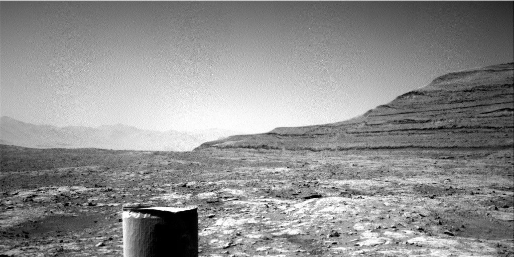
As we traverse the boxwork terrain, we are encountering a series of more resistant ridges/bedrock patches, and areas that are more rubbly and tend to form lower relief polygonal or trough-like features. We came into planning this morning in one of the trough-like features after another successful drive. The science team is interested in determining why we see these different geomorphological and erosional expressions. Is the rock that comprises the more resistant ridges and patches a different composition to the rock in the troughs and low relief areas? How do the rocks vary texturally? Might the resistant bedrock be an indicator of what we will encounter when we reach the large boxworks that we are driving towards?
We managed to find a large enough area of rock to safely brush (target – “Guapay”), after which we will place APXS and MAHLI to determine the composition and texture. ChemCam will also analyze a different rock target, “Taltal” for chemistry and texture, and we will also acquire an accompanying Mastcam documentation image. The resistant ridge that we are planning to drive towards (“Volcan Pena Blanca”) and eventually investigate will be captured in a Mastcam mosaic. ChemCam will utilize their long-distance imaging capabilities to image the “Mishe Mokwa” butte off to the southeast of our current location, which likely contains bedrock layers that we will eventually pass through as we continue our climb up Mount Sharp.
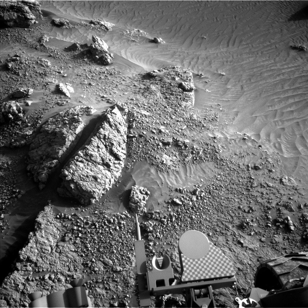
After a planned drive, taking us closer to the “Volcan Pena Blanca” ridge, MARDI will image the new terrain beneath the wheels, before we execute some atmospheric observations. Mastcam will make a tau observation to monitor dust in the atmosphere and Navcam will acquire a zenith movie. Standard DAN, RAD and REMS activities round out the plan.
Explore More


 July 08, 2025 at 03:57AM from NASA https://ift.tt/jNurndA

Comments
Post a Comment